The area of high pressure will continue to dominate the weather in Spain this Friday, bringing generally stable conditions, clear skies and little rainfall. However, the temperature map will show significant differences from one area to another.
The State Meteorological Agency (Aemet) highlights high temperatures in the southwest, the Ebro Valley, the Pyrenees, the Canary Islands and some parts of the eastern third of the country among the notable weather conditions.
At the same time, a change will begin to become evident in the north: maximum temperatures will fall in the Cantabrian region and Galicia, with a notable drop of more than six degrees in inland areas.
ALMOST 40 DEGREES IN SOME AREAS OF SPAIN
This northern decline will contrast with the intense heat that will persist across much of the country. Thermometers will exceed 34 or 35 degrees in the Canary Islands, the southwestern valleys, the Ebro Valley, low-lying areas of the Pyrenees and some parts of the eastern third.
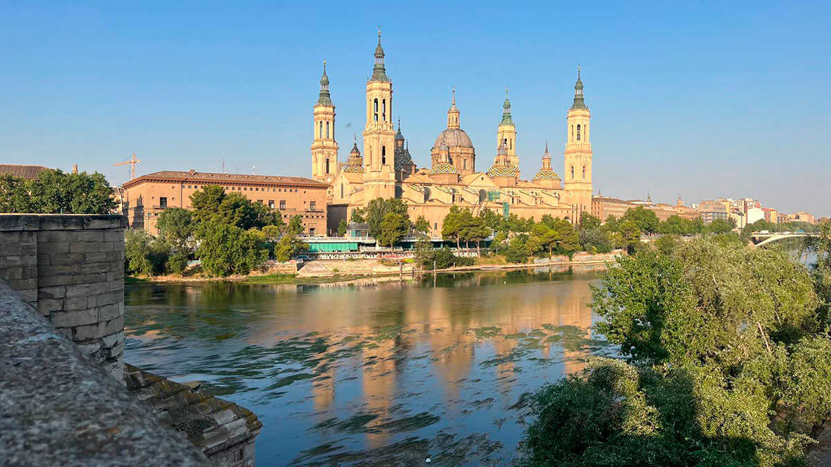
Among the provincial capitals, Córdoba will reach 39 degrees, while Badajoz and Seville will reach 38. Zaragoza, Granada and Murcia will record highs of 37 degrees.
Thermometers will also rise to 36 degrees in Huelva, Jaén, Logroño and Toledo. Albacete, Cáceres, Ciudad Real, Cuenca, Guadalajara and Lleida will hover around 35 degrees, while Madrid will reach 34.
At the other extreme will be the Cantabrian coast. Santander will have a maximum of just 22 degrees, Oviedo 23, San Sebastián 24 and Bilbao 25. A Coruña is also not expected to exceed 21 degrees.
As a result, Spain will see differences of close to 20 degrees this Friday between the forecast maximum temperatures in some provincial capitals.
HEAT RISES IN THE MEDITERRANEAN AND THE EBRO VALLEY
Temperatures will not evolve uniformly either. While maximum temperatures will fall in Galicia and the Cantabrian region, they will rise in the Ebro Valley, the Balearic Islands and the Mediterranean arc.
The increase will be particularly pronounced in the southeast of mainland Spain, where it may also exceed six degrees compared with the previous day. In inland areas of the country, by contrast, little change is expected.
Minimum temperatures will tend to rise across much of the country, except in Galicia, where they will fall. Temperatures will also drop in the Canary Islands.
SUNNY SKIES AND LITTLE RAIN THIS FRIDAY
As for the skies, the influence of high pressure will favor a calm day. Clear skies or some patches of high cloud will prevail across much of mainland Spain.
Galicia and the Cantabrian region will once again be the exception, with mist during the early hours and periods of low cloud throughout the day. Low morning cloud is also expected in the Balearic Islands, coastal areas of the Mediterranean, the Alboran Sea and the Strait of Gibraltar.
There will be high cloud and some mid-level cloud in the westernmost Canary Islands, where a light shower cannot be ruled out.
Moderate easterly winds will blow in the Alboran Sea and the Strait of Gibraltar. Moderate easterly or northeasterly winds will prevail in the Canary Islands, while westerly winds will blow in Galicia and the Cantabrian region.
A CHANGE THAT COULD BECOME MORE EVIDENT OVER THE WEEKEND
This Friday will therefore mark the beginning of a change in weather patterns that will be particularly noticeable in northern Spain, although it will not yet represent a widespread shift toward cold or rainy conditions.
Spain is thus entering the end of September with two very different weather scenarios: intense heat still affecting the south, the Ebro Valley and other eastern areas, with temperatures close to 40 degrees, alongside a sharp drop in temperatures beginning to be felt in the Cantabrian region and Galicia, heralding changes over the weekend.