
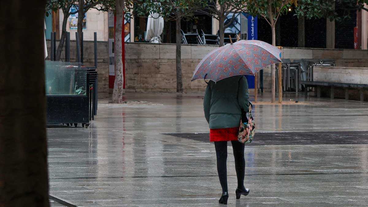
In Aragon, the change will begin to become noticeable on Saturday, although it will be especially evident from Monday onward. In Zaragoza, Aemet puts the probability of precipitation during the first half of Saturday at 45%, while on Monday it will rise to 100%. Rain will continue on Tuesday, with an 80% probability, and on Wednesday, with 70%. Temperatures will also rise with the arrival of the storms: from a high of 16 degrees on Saturday to 19 on Monday and as high as 24 on Tuesday.
UP TO A 100% CHANCE OF RAIN
A similar pattern is expected in Huesca. The provincial capital will have a very cloudy Saturday, with a 45% chance of precipitation during the morning, but Monday will bring the clearest spell of rain, with a 95% probability. The figure will remain at 90% on Tuesday and Wednesday.
In Teruel, precipitation will also become more widespread. After a Saturday with a 25% chance of rain, Aemet raises the probability to 100% on Monday, with figures of 75% on Tuesday and 80% on Wednesday. Temperatures will be somewhat milder than in recent days, with highs close to 18 or 19 degrees.
Before that change, some light precipitation may still be recorded this Thursday. Showers are likely in the Aragonese Pyrenees, with the snow level rising from 1,400-1,600 meters to 1,600-1,800 meters, while frost will continue on the summits, locally severe.
Thus, after several days in which cold weather has been the main feature, next week will begin in Aragon with umbrellas, as part of a broader spell of unsettled weather linked to storms arriving from the Atlantic.